Beautiful China
Updated: 2014-09-12 07:43
(China Daily Europe)
|
|||||||||||
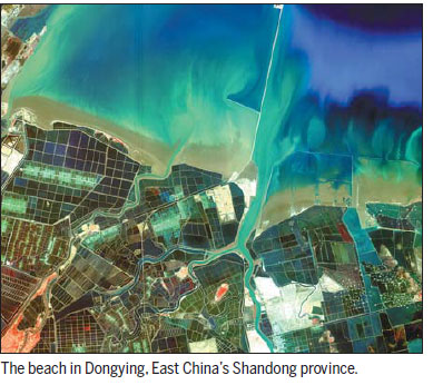
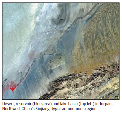
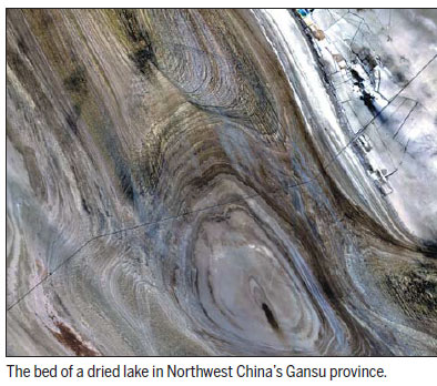
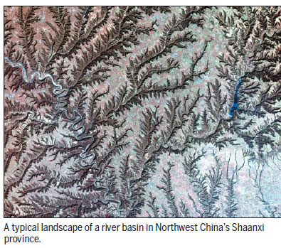
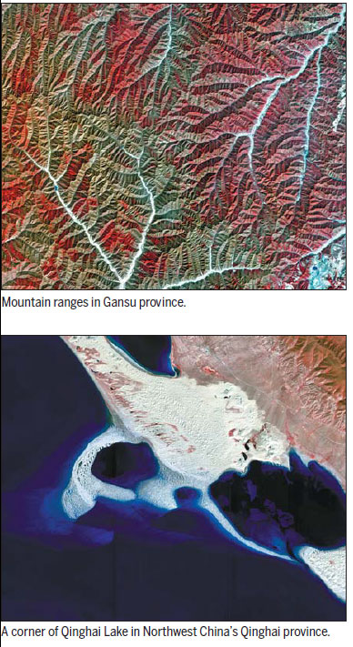
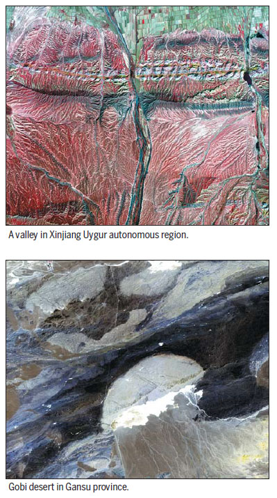
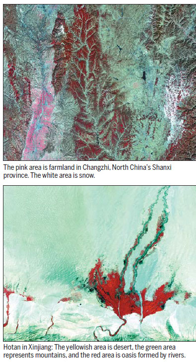
Photos by State Administration of Science, Technology and Industry for National Defense/Chinese Academy of Sciences
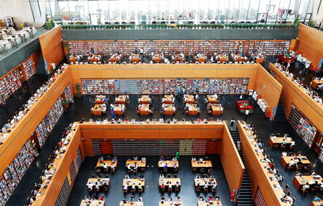
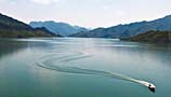
Gaofen-1 is a satellite launched last April as part of the country's HD Earth observation system. These images that show the natural landscape of China are captured by the satellite.
Gaofen-1 has an imaging resolution of 1 meter; while the world record is held by DigitalGlobe, the precision of whose WorldView-2 that participated in the search for MH370 is 0.5 meter.
The activation of the Gaofen-1 satellite marks a milestone in a program that will substantially improve the nation's capabilities in disaster relief, surveying and environmental protection, says the State Administration of Science, Technology and Industry for National Defense, which oversees the program.
The satellite is also widely used in geographic and resource surveys, climate-change monitoring, precision agriculture and city planning. Chinese police have used the Gaofen-1 Satellite database to discover illegal border crossings, it is reported.
(China Daily European Weekly 09/12/2014 page4)
Today's Top News
Obama orders airstrikes in Syria for first time
Putin blames West for Ukraine crisis
Cameron ' would be heartbroken' if Scotland leaves Union
China restricts overseas TV
Nation capable of hitting growth targets, Li says
Chinese peacekeepers to support South Sudan
Russia lays responsibility for MH17 crash
Space station eyes cooperation with other countries


Hot Topics
Lunar probe , China growth forecasts, Emission rules get tougher, China seen through 'colored lens', International board,
Editor's Picks

|

|

|

|
|
|